
Transit Apps, Route Planners, and Real-Time Tools That Support Smarter Travel

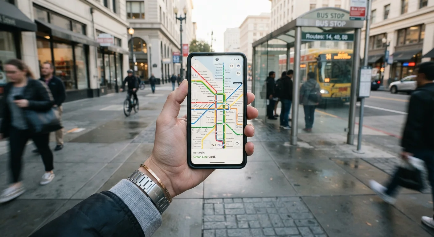
A curated look at the categories of digital tools commuters use to navigate, plan, and adapt their daily routes more effectively.
Key takeaways
- Real-time transit apps reduce wait times by surfacing live arrival and delay information.
- Multimodal route planners help commuters combine bus, rail, bike-share, and walking into one trip.
- Fare and benefit tools can help riders apply pre-tax commuter dollars more efficiently.
- Crowd-sourced traffic data helps drivers identify faster or less congested alternate routes.
- Offline and low-data modes matter for commuters in areas with spotty cellular coverage.
Why the Right Tool Changes the Whole Commute
The average American commuter spends roughly 27 minutes each way getting to work, according to U.S. Census Bureau data — and that number climbs sharply in metro areas. For many people, that time is lost to guesswork: missed connections, unexpected detours, and the stress of not knowing whether the bus is on time or the highway is at a standstill.
Digital tools have matured enough to address most of these friction points, but the landscape is fragmented. There are apps for driving, apps for transit, apps for biking, and apps that attempt to stitch all of it together. Knowing which category of tool solves which problem is half the battle. The list below breaks down the main types of commuter tools, what each does well, and where each has real-world limitations. See our complete commuter reference for the broader context around transit passes, carpool rules, and tax benefits that pair with these tools.
Start with One Tool, Not Six
It's tempting to download every transit app at once, but most commuters find it more useful to master one tool for their primary mode before adding others. Start with whatever covers your main trip segment — bus tracking, driving navigation, or multimodal planning — and layer in additional tools only when a specific gap appears. This avoids notification overload and conflicting route suggestions.
The Main Categories of Commuter Tools
Real-Time Transit Trackers
These apps connect directly to a transit agency's live data feed — often called a GTFS-RT (General Transit Feed Specification – Realtime) feed — to show you when the next bus or train will actually arrive, not just when it's scheduled to. The difference matters: a bus listed as arriving in four minutes on a schedule might actually be eight minutes out due to traffic or dwell-time delays.
Most major U.S. transit agencies publish live data, and many cities have agency-specific apps that surface it. Third-party apps aggregate feeds from multiple agencies, which is useful if your commute crosses municipal lines. The limitation is data quality: smaller agencies sometimes have gaps in real-time reporting, so scheduled times may be all that's available in less-served areas.
Live arrival data eliminates guesswork and can meaningfully reduce platform waiting time.
Multimodal Route Planners
These tools are designed to combine multiple forms of transportation into a single trip plan — walking to a bus stop, transferring to a subway, then finishing on a bike-share, for example. They're especially useful for commuters in dense cities where no single mode covers the whole journey efficiently.
A good multimodal planner accounts for transfer timing, walking distances, and sometimes real-time availability of shared bikes or scooters. Some integrate with regional trip-planning APIs to offer city-specific accuracy. The tradeoff is complexity: the more modes involved, the more variables that can disrupt a plan, so these tools work best when paired with some buffer time built into the schedule. For a broader look at how different transit systems interact, comparing commuter rail, light rail, and BRT is worth reading.
Multimodal planners reveal faster trip combinations that single-mode thinking routinely misses.
Crowd-Sourced Traffic and Navigation Apps
For drivers, navigation apps that incorporate real-time, crowd-sourced traffic data have become standard tools. They reroute around incidents, construction, and congestion dynamically — sometimes shaving meaningful time off a drive that a static GPS route would miss entirely.
The underlying mechanism relies on aggregate, anonymized location data from other app users on the same roads. In dense metro areas with millions of users, this data is highly accurate. In rural or low-traffic corridors, the sample size shrinks and the rerouting suggestions become less reliable. Drivers should also be aware that popular rerouting apps sometimes push heavy traffic through residential neighborhoods, a concern raised by city planners in several U.S. metro areas. Use them as a decision-support tool, not an unquestioned authority.
Crowd-sourced routing is most accurate in dense urban corridors where user data is plentiful.
Fare Management and Transit Wallet Apps
Many transit agencies now offer digital fare accounts — mobile ticketing, stored-value cards, and monthly pass management — through dedicated apps or integrations with mobile wallets. These tools reduce the friction of buying paper tickets, help riders track spending, and in some systems allow automatic fare capping (where you're never charged more than the equivalent of a daily or monthly pass).
For workers with employer commuter benefits, some apps connect directly to pre-tax transit benefit accounts, making it easier to apply those funds at the point of purchase. If you're not sure whether your employer offers transit benefits, how commuter benefit programs work explains the basics. Fare apps vary significantly by city — not all agencies support mobile ticketing yet.
Fare apps that support pre-tax benefit accounts can reduce out-of-pocket commute costs noticeably.
Schedule Optimization and Departure Alert Tools
A small but practical category of tools focuses on helping you leave at the right moment. These apps monitor your calendar, your home location, and real-time transit or traffic conditions to send a push alert when it's time to head out — accounting for current delays rather than fixed schedules.
Some calendar and productivity apps have light versions of this feature built in. More specialized commuter tools go further, learning your typical route over time and adapting suggestions accordingly. The value is straightforward: leaving five minutes earlier on a bad traffic day is far less stressful than discovering the delay once you're already in it. strategies for reducing commute time covers how timing and route choice interact beyond what apps alone can optimize.
Departure alerts that factor in real-time conditions consistently outperform fixed-schedule reminders.
Offline and Low-Connectivity Tools
Cellular dead zones are a real problem for commuters on underground rail, in tunnels, or in rural areas with sparse coverage. Apps that allow route downloads or offline mode let you access maps, schedules, and turn-by-turn directions without an active data connection.
This category is often overlooked until someone is already standing in a subway station with no signal, scrambling to remember which exit to take. Offline-capable tools are particularly useful for infrequent transit users navigating an unfamiliar city, or for commuters whose routes pass through coverage gaps. Some navigation apps allow full offline map downloads for a region; transit apps with offline schedules typically can't show real-time data but can at least surface planned departure times.
Offline-capable apps are a practical safety net when cellular coverage fails mid-commute.
Putting It All Together
No single app solves every commute. Most experienced commuters end up using two or three tools in combination — a real-time transit tracker for their primary mode, a traffic app as a backup, and perhaps a fare or benefit manager tied to their employer's transit program. If you're evaluating a change to how you get to work, the checklist for switching commute modes is a practical starting point before committing to a new routine.
The apps and software hub covers a wider range of digital tools beyond commuting if you're looking to extend these habits into other parts of your day. And for commuters specifically weighing different public transit systems, understanding how rail and BRT systems differ will help you match the right mode to the right tool.
The goal isn't to have the most apps — it's to have the right information at the right moment. Even modest improvements in planning can reduce stress, cut unnecessary waiting, and occasionally save real money on fuel or fares over the course of a year.
All published content on this website is for informational and educational purposes only and should not be taken as professional advice. We recommend that readers seek expert opinion before making any decisions. The website is not responsible for any actions taken based on the information provided on this website. We are not liable for any inaccuracies, modifications, or omissions in information. Moreover, external links or third-party content are provided for convenience; we are not liable for their correctness. Users are advised to verify every piece of information before they use it for any purpose.